

A consultation workshop on the risk mapping results of rural infrastructure with flash floods and landslides has just been held in Hanoi .
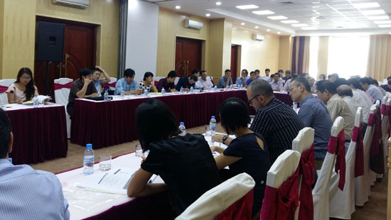
Delegates at the workshop on the risk mapping results of rural infrastructure with flash floods and landslides in Hanoi on August 26.
The workshop, which was held on August 26 by the Agricultural Project Management Board under the Ministry of Agriculture and Rural Development, attracted participation from international and domestic
organizations, ministries, institutes, universities, local authorities
as well as leading experts.
The event is a part of activities implemented by the project “Promoting Climate Resilient Infrastructure in Northern Mountain Provinces of Vietnam” (2012 - 2016) funded by the Global Environment Facilities through the United Nations Development Programme and Asian Development Bank.
Carried out from January 2016 to August 2016, the risk mapping serves to point out the vulnerability of rural infrastructure and risks of these works under the influences of flash floods and landslides as well as impacts of climate change.
The mapping is based on the result of rural infrastructure vulnerability assessment in 15 northern mountain provinces, up-to-date climate change scenarios and risk maps of flash floods and landslides developed by Ministry of Natural Resources and Environment.
Maps are built for typical rural infrastructure such as dykes, embankments and rural roads over three different periods of time including the present time, 2025 and 2050 at a scale of 1/200,000 and 1/500.000 for printed maps and of 1:100,000 for digital maps. Besides maps for the whole northern mountain region, the project also produces more detailed maps for two pilot provinces of Son La and Bac Kan. Based on these maps, planning and technical staff and decision makers can identify the infrastructure which are subject to high risks.
Delegates appreciated the use value of these maps and hoped that the project will build more similar maps for other provinces, especially for provinces with high risks.
Leave your comment on this story